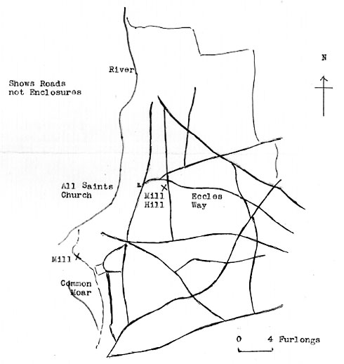
Norfolk Arcaeology Vol XXXV 1972 - 1861 map
|
Snetterton
Mill Farm postmill |
Buxton MSS is a collection of Norfolk documents in the Cambridge University library. Two documents are: a Field Book of Hargham & Snettereton, dated 1681 and A Roll containing rental of one of the Manors of Snetterton Parishes (Pary's or Grimes) dated 1465. |
|
Norfolk Arcaeology Vol XXXV 1972 - 1861 map |
Ogilvy's Britania map London to Norwich 1675: Windmill |
If you have any memories, anecdotes or photos please let us know and we may be able to use them to update the site. By all means telephone 07836 675369 or
|
| Nat Grid Ref TL98559023 |
Copyright © Jonathan Neville 2011 |