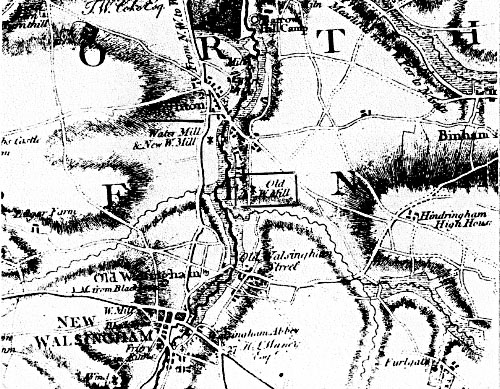
Faden's map 1797
|
Wighton
postmill |
|
Wighton towermill stood in Mill Close to the south of the village and after the new towermill was built to the northeast, the postmill became known as the Old Mill. |
|
| Faden's map 1797 |
By 1737 a windmill stood in the north-west corner of this site. The northern of the two fields which the site now occupies is still called Mill Close, while the southern field is called Balland Close. This mill is shown on Faden's map of Norfolk 1797, but had been demolished by the time of Bryant's map of 1826. Andrew Lawson, East Anglian Archaeological Unit - Excavations at Whey Curd Farm, Wighton - 1976 |
... remains of a large Danish Camp ... The Windmill south of this in Wighton parish stands on the corner of a similar entrenchment much defaced ... Armstrong's History of Norfolk - North Greenhoe - Warham - 1781 |
|
The foundations of the mill were seen by N. Bray of the Norfolk Archaeology Unit in 1957 and were described as an embanked enclosure at Whey Curd Farm. |
|
1737: Windmill working |
If you have any memories, anecdotes or photos please let us know and we may be able to use them to update the site. By all means telephone 07836 675369 or
|
| Nat Grid Ref TF94503879 |
Copyright © Jonathan Neville 2012 |