Bryant's map 1826
|
Harleston Common
postmill |
|
Harleston Common postmill was shown on two maps in the early 1800s and apart from that little else has been found. |
By 1841, elderly Elizabeth 'Diggens' and young Martha Feavoryear lived here, Hoxne born Martha had moved to Wingfield by the 1881 census. Elizabeth aka Elizabeth Diggins is linked to the Mill that stood at the top of The Common. The spelling 'Diggens/Diggings' is fairly interchangeable. 40 year old Susan Diggens, wife of John, Miller was buried on May 8th 1808, followed by the burial of their infant daughter, also named Susan, on August 31st. Presumably, Susan died in child birth, her daughter, wet nursed, survived another few months before succumbing, as did so many children, to some childhood ailment. Elizabeth née Catchpole then married John Diggins (widower) at Redenhall in 1815. An 1830 trade directory lists three Harleston millers; one we know to have been at Jays_Green_Mill, another at the School_Lane_Mill so it would be reasonable to assume the third, John Diggings (and wife Elizabeth) were at the mill that stood on the Common until at least 1834, only 7 years prior to the census . Diggings is also listed as a flour dealer and, more significantly, a baker: you will see below that part of the former mill complex operated as a bakery between at least 1861 (probably earlier) and 1881. The marriage between Henry Diggins and Eliza Foulser presumably from the Foulger / Foulser / Foulson family that owned a fair amount of property on the Common strengthens the putative link between the Diggens and the Mill on the Common. Dickleburgh-born Diggings appears as a Journeyman Miller at Henstead in 1851 and at Starston by 1858, whilst 10 years later the death of Mr. Henry Diggins, 'formerly of Starston_Mill, and late of Shottisham' was reported. In a time when trades were often handed down from father to son it is reasonable to assume Henry was the son of John and that Elizabeth Diggers/Diggins was the step mother of Henry, choosing to remain on the Common after the closure of the Mill. |
|
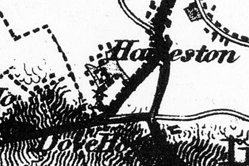
Bryant's map 1826 |
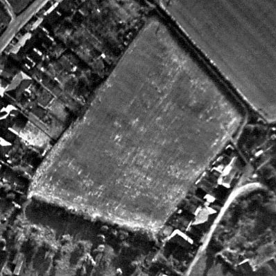 |
Aerial photograph showing mill site 1964 |
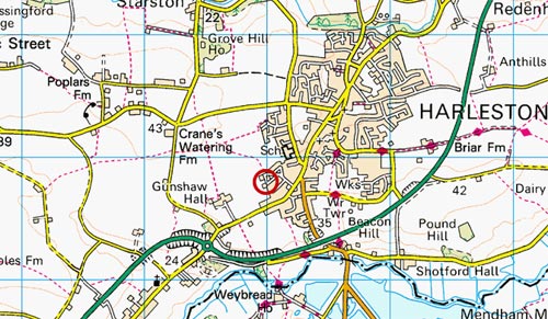 |
O.S. map 2005 Image produced under licence from Ordnance Survey |
|
Bryant's map 1826: Windmill |
If you have any memories, anecdotes or photos please let us know and we may be able to use them to update the site. By all means telephone 07836 675369 or
|
Nat Grid Ref TM24008280 |
Copyright © Jonathan Neville 2007 |