The
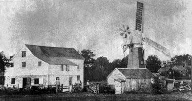
windmill standing beside the watermill c.1890
|
Erpingham
smockmill |
|
|
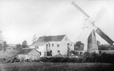
The
windmill standing beside the watermill c.1890
|
The history of Erpingham smock mill is detailed on the page for Erpingham_watermill as the two mills were run together.
|
 |
|
c.1890
|
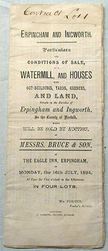
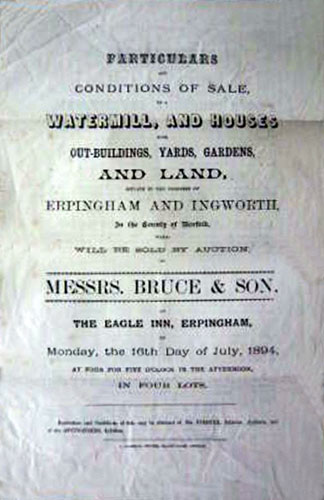
The smockmill was removed and sold separately by the vendor around the time of the 1894 auction as the following documents show. |
 |
 |
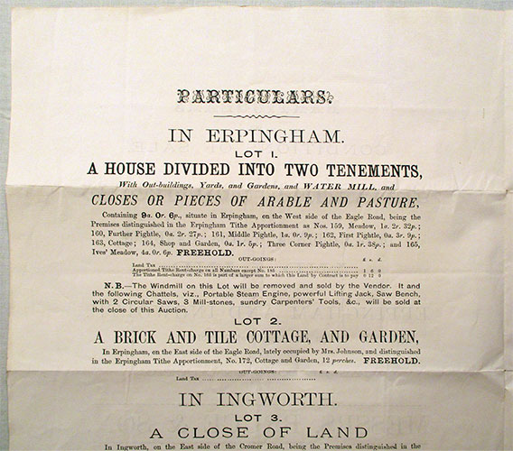
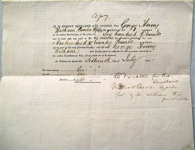
Sale details - Monday 16th July 1894 |
|
 |
 |
Sale details - Monday 16th July 1894 |
|
A Sale by Bruce & Son at the Eagle. A water corn mill, dwelling house, miller's cottage, stable outbuildings with 9 acres of meadow and arable land, freehold - bought by G. H. Witham of Cawston for £600. Newspaper report - 20th July 1894 |
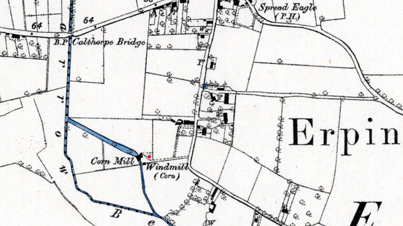 |
O. S. Map 1885 showing the site of the watermill and the smockmill |
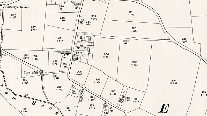 |
O. S. Map 1905 |
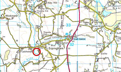 |
O.S. Map 2005 Image reproduced under licence from Ordnance Survey |
White's 1836: Thomas Cook, corn miller (Benjamin Johnson, millwright)
Kelly's 1854: John Johnson, miller & millwright White's 1854: John Johnson, corn miller, millwright & parish clerk
White's 1864: John Johnson, corn miller & millwright
White's 1883: James Johnson, miller & parish clerk
Kelly's 1892: Benjamin Johnson |
If you have any memories, anecdotes or photos please let us know and we may be able to use them to update the site. By all means telephone 07836 675369 or
|
| Nat Grid Ref TG18903160 | Copyright © Jonathan Neville 2004 |