 |
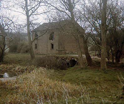
April 1967 |
| Luck's Mill
River Waveney |
|
April 1967 |
|
Luck's Mill
was about half mile upstream from Needham Mill
and ceased working c.1890. |
Albert Sidney Bush whose father Arthur H. Bush owned nearby Needham_Mill said that he was told Luck's Mill was originally a flax mill and that it had already disappeared before his father arrived in the village in 1897. |
 |
|
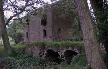
Remains
of the Mill House June 1969
|
|
William Luck
was born c.1787 in Weybread. He married Elizabeth
Rackham on 19th April 1814 in Shelton, Norfolk. Elizabeth was the daughter
of William Rackham and Mary Sermons, she was was born c.1787 and was baptised
on 19th May 1787 in Shelton. |
 |
|
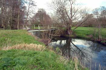
Luck's
bridge with the mill site over to the right 2004
|
|
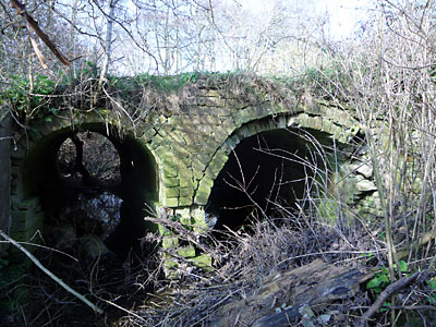
In March 1972 an old gear wheel was hanging on the entrance gate and was still there in 2004 although it may not have come from the mill. The two arched watercourse was dry as cut from the river had been allowed to silt and then dry up. |
 |
 |
|
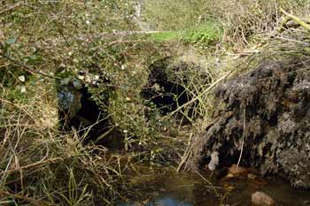
Headrace
arches 10th April 2004
|
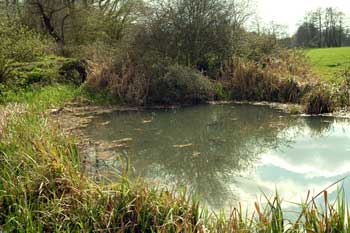
Millpond
10th April 2004 |
 |
|
Bypass and wheelrace channels looking east 21st March 2009 |
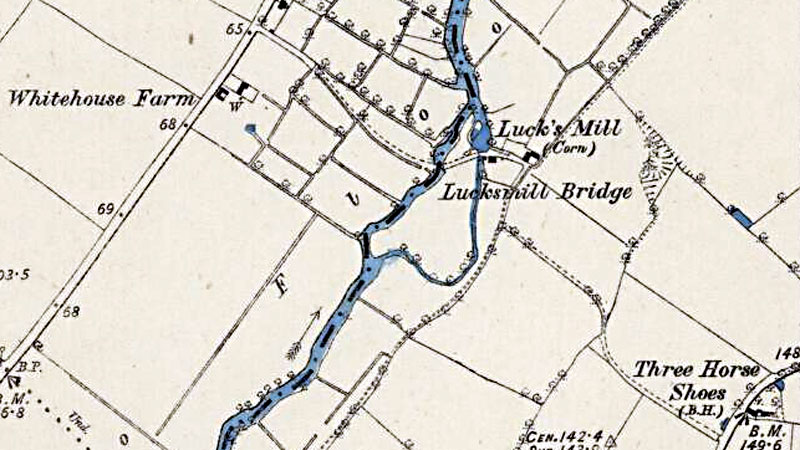 |
O.S. Map 1884 (not to scale) Courtesy of NLS map images |
 |
O.S. Map 1884 (not to scale) Courtesy of NLS map images |
 |
|
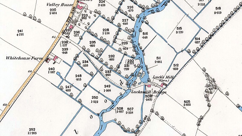
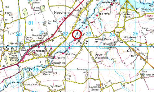
O.S. Map 2005 Image reproduced under licence from Ordnance Survey |
|
Kirby's map
1736 |
If you have any memories, anecdotes or photos please let us know and we may be able to use them to update the site. By all means telephone 07836 675369 or
|
| Nat Grid Ref TM 22558054 | Copyright © Jonathan Neville 2003 |