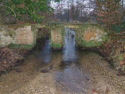
Looking downstream - 27th December 2004
|
Itteringham
Cirk Mill tributary of River Bure |
|
|
Looking downstream - 27th December 2004
|
|
N.B.
The village of Itteringham has its own website www.itteringham.com
|
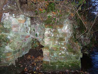
Cirk Mill was in Cirk meadow to the west of the church and was an ancient mill that had disappeared by the 1800s. The sluice columns still remain and on the east side of the stream the brickwork seems to resemble |
 |
 |
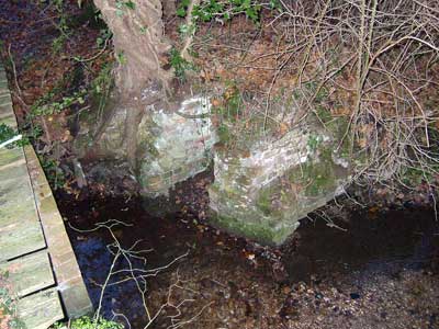
Pitwheel housing - 27th December 2004 |
|
 |
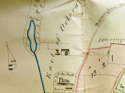 |
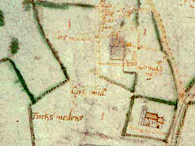
Mannington Estate map 1695 |
Chancery Case map 1851 |
The mill was situated at the southern end of the small lake that had been formed by damming the stream. The farmstead to the southwest of the mill (south in real life) had also disappeared by the beginning of the 1900s although it was still showing on the 1839 Tithe Map. |
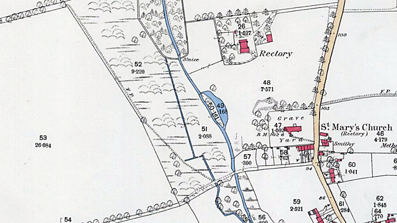 |
O. S. Map 1885 |
Mannington Estate map 1695: Cirk Mill |
| If you have any memories, anecdotes or photos please let us know and we may be able to use them to update the site. By all means telephone 07836 675369 or |
| Nat Grid Ref. TG 14293107 | Copyright © Jonathan Neville 2005 |