 |
|
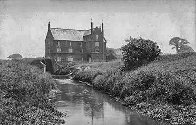
c.1912 |
|
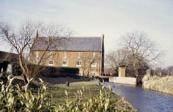
Heacham Mill
River Heacham |
|
|
c.1912 |
|
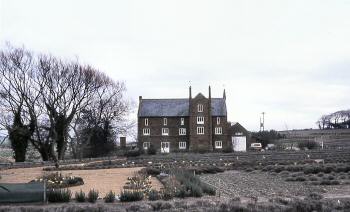
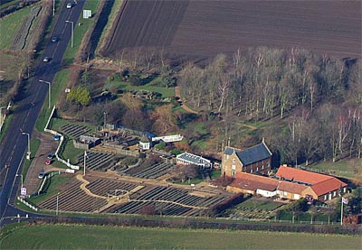
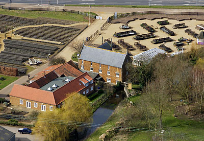
Heacham watermill
or Caley Mill as it is also known, looks very different to most other mills
in Norfolk, being Gothic revival in architectural style and built of local
carr-stone. |
 |
|
c.1912 |
To my son Edmund Cremer all messuages, etc in Heacham on the west side of the way from Snettisham calkepit to the watermill of the said Edmund in Heacham and to his heirs..... |
RINGSTEAD To Let at Michaelmas next for a term of years A superior Water Corn Mill at Heacham ... Also at Great Ringstead, Norfolk A capital TOWER WINDMILL with six patent sails, Flour Cloth Machine, Jumper etc. driving three pair of French stones, with Cottage, Gardens, Granary, Stable etc. and about an acre and a quarter of arable land. Apply to Mr. William Norgate, Heacham. Norfolk Chronicle - 22nd & 29th July 1854 |
 |
|
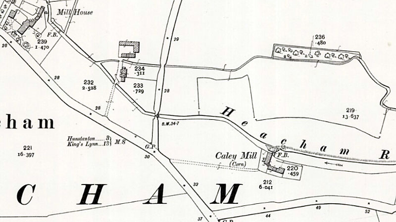
1946 |
The map above appears to indicate that a second holding area for water lay above the main mill dam and was probably controlled via a sluice. The mill bypass also ran from the upper dam and probably took the original river course before the mill was constructed to the south. The location map link at the bottom of this page leads to a page containing a larger section of the old map, which shows that unusually, the mill house stood same way to the west of the mill. |
 |
|
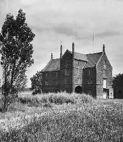
c.1960
|
 |
 |
|
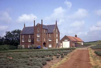
June
1968
|
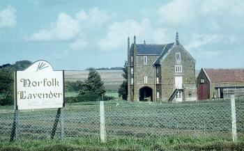
c.1980 |
|
In 1968 the
mill race remained but it had long since ceased working. |
 |
|
Mill
dam February 1983
|
 |
|
Tailrace
April 1971
|
The Bankruptcy Act 1861 Notice is hereby given that by an Indenture dated 20th June 1866 John Jarrett of Ringstead in the county of Norfolk, Baker, assigned all his Estate & effects to Alfred Lewis of Heacham in the said County, Miller & William Love Porritt of Burnham Westgate in the said County, Miller … for the benefit of the Creditors of the said John Jarrett … in like manner as if he had been adjudged Bankrupt. Alfred Spanton, Solicitor, Hunstanton. Lynn Advertiser - 21st July 1866 |
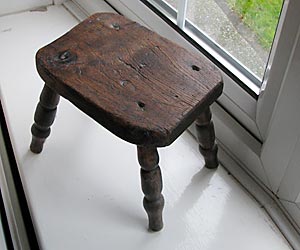 |
Stool made by mill owner c.1929 |
I was delighted to be able to find the Mill on Google Earth today, and also on your website. I have a small, home-made wooden stool in my room here in Bitton, Bristol, which was given to me by the owners of the Mill in roughly 1928-31. I was a small toddler and my parents and I were staying at the Mill on holiday. I'm told that I spotted this stool and carried it round the house at all times and sitting on it whenever possible! The stool, we were told, was made by the Mill owner when he was a boy at school carpentry lessons.
I cannot remember the name of the owners but I do know they had close Free Church affilliation, or possibly with the Plymouth Brethren.
Paul Wigmore - 20th January 2008 |
 |
 |
27th January 2007 |
16th March 2009 |
 |
O. S. Map 1904 |
 |
O.S. Map 2005 Image reproduced under licence from Ordnance Survey |
|
1600: Edmund
Cremer |
If you have any memories, anecdotes or photos please let us know and we may be able to use them to update the site. By all means telephone 07836 675369 or
|
| Nat Grid Ref TF68503746 | Copyright © Jonathan Neville 2003 |